New Zealand’s South Island encompasses some of the most dramatic scenery in the world. Alpine lakes, rugged peaks, archaic glaciers and lush rainforest all combine in a never ending landscape of picture perfect views.
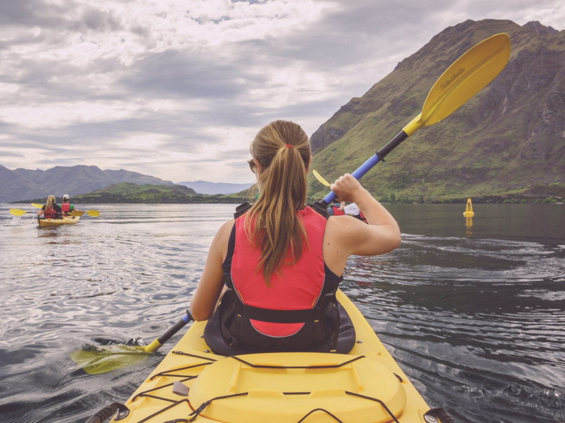
Defined by a mountainous backbone of snow-capped summits the south is renowned for its wealth of adventure activities; from snow sports in winter to hiking, kayaking, scuba diving and mountain biking during the warmer summer months, there’s always something to get your heart racing.
Having already explored some of the hiking trails that wend their way around Lake Wakatipu, I knew that the region encompassed a dynamic terrain.
The trouble was I’d only seen it from ground level.
Fellow adventure seekers and travel bloggers Dave and Deb had inspired us with their account of paragliding over Queenstown, but I wasn’t sure I was ready to hurl myself off a perfectly good mountain all in the name of aerial views.
Flying from Queenstown to the Milford Sound
From their base in Queenstown The Helicopter Line operate scenic flights over the neighbouring Remarkables Range, the Wakatipu Basin and across The Divide into Fiordland National Park.
The opportunity for a rather intimate insight into the wilds of this vast uninhabited landscape, many of their flights incorporate a seasonal snow landing that permits you to step out onto terrain usually reserved for those brave enough to climb high over ice and snow.
On hearing that their 90 minute Milford Sound excursion included an altitude glacial landing, I knew it would be a superb way to see the Queenstown Lakes region and the peaks that surround Fiordland’s deep waters.
Arriving at the airfield the sky above was a uniform palate of blue, and once up in the air it served to highlight the vibrant colours of the world beneath.
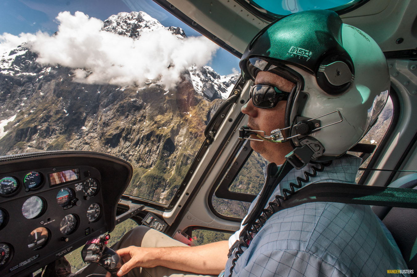
With my headset firmly over my ears I could hear the pilot’s commentary, but his words were lost on me; my thoughts were soon enveloped by the contrasting textures and colour below.
High over neighbouring Glenorchy we flew, to the opposite end of the vast Lake Wakatipu. Crossing the Dart River the peaks of The Divide came into view and soon the pilot was coming into land.
Aerial views of The Divide
With the blades still in motion I hopped out of the helicopter, stooping low at the instruction of my pilot until safely away from the rotating hazard.
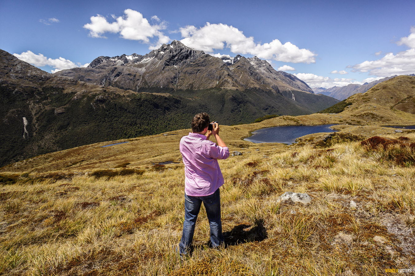
We had landed in a spot so remote civilization was just a distant memory. To the south sunlight glistened on the glacial waters of Lake Wakatipu and to the west the snow-capped peaks of Fiordland were visible on the horizon.
In the foreground an undulating landscape of jagged rock and windswept vegetation whispered a foreboding tale of isolation.
Flying over Fjordland National Park
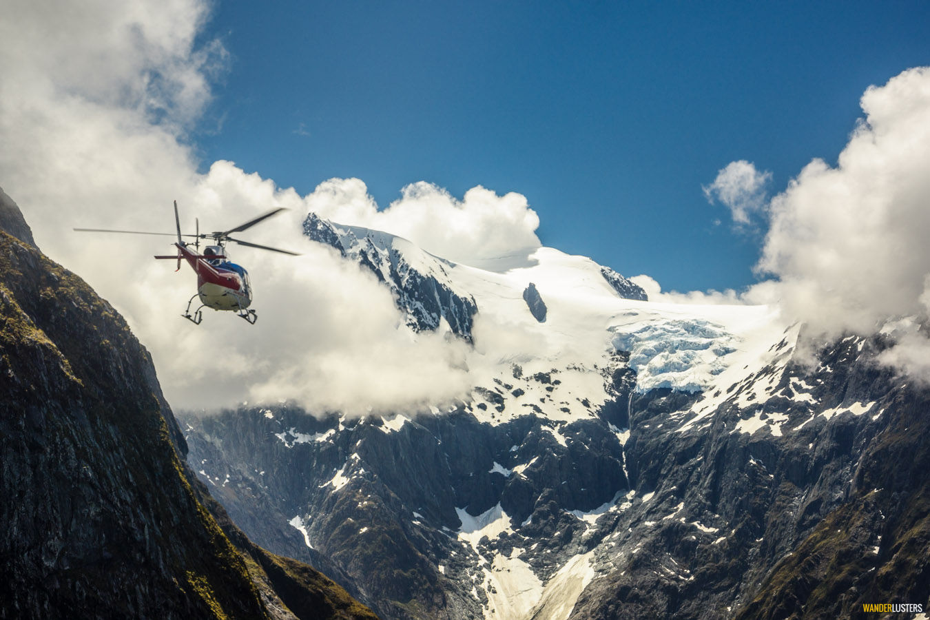
Back in the air we flew further into the wild and towards the largely uninhabited Fiordland National Park.
While the view today is one of indomitable peaks reflected in the inky waters of the infinitely deep sounds, Fiordland was once enveloped by giant sheets of ice. Carving away at the rock face beneath, the glaciers of the region’s past have sculpted terrain so unique that it has become one of the most iconic landscapes on earth.
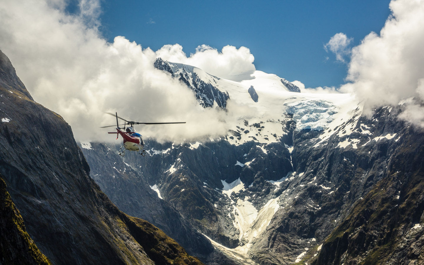
Flying alongside gigantic valley walls the scale of the environment soon became apparent when I spotted another helicopter flying towards us. Its tiny form seemed so insignificant aside the vast magnitude of Mother Nature’s playground.
The Milford Sound & Mitre Peak
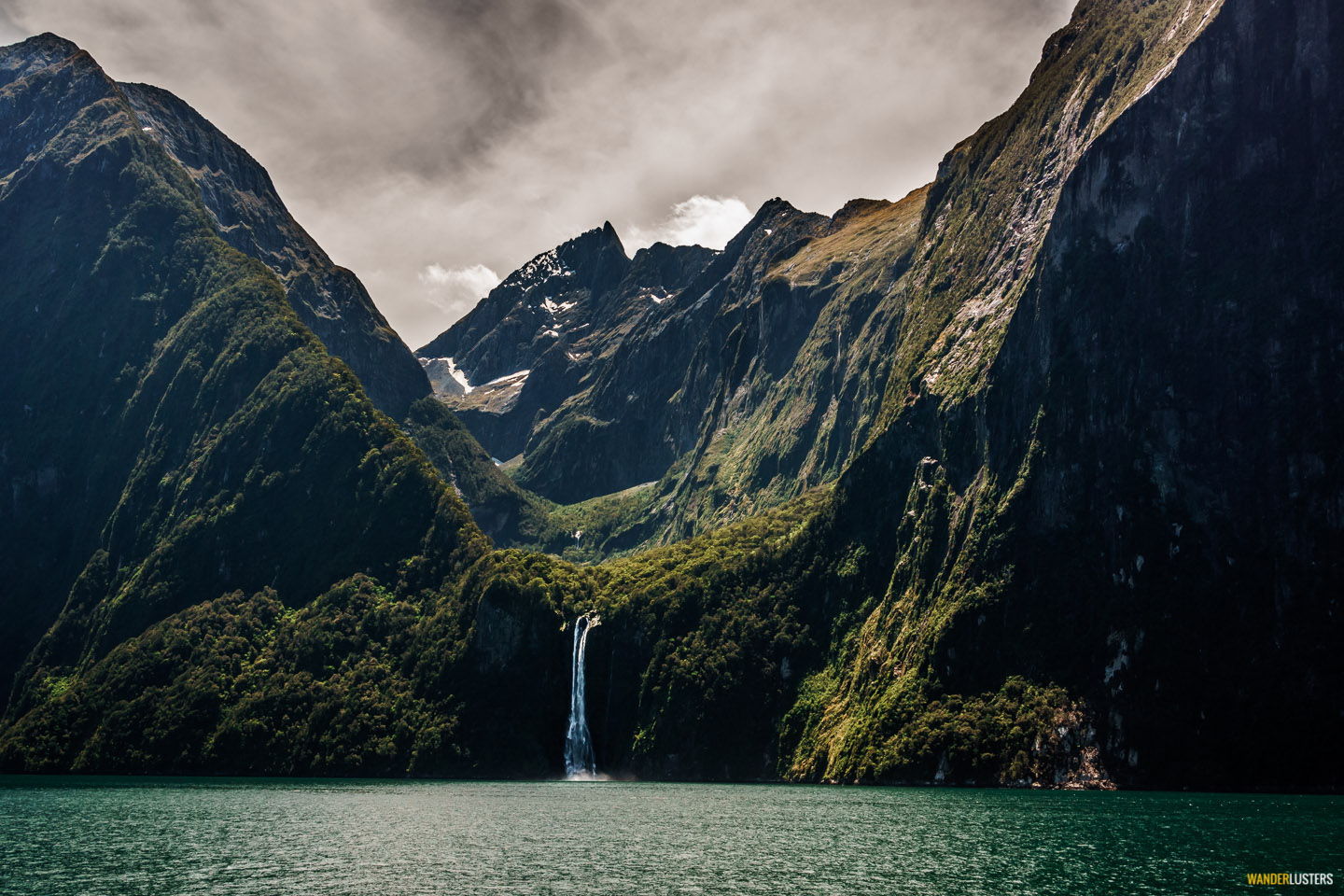
Landing aside the Milford Sound the pilot shut down the engine and we set off to explore.
After following a short track that led to a scenic lookout I was standing in the gaze of the fjord. I felt humbled to be looking at the picture postcard view I’d seen so often in the pages of numerous travel magazines throughout my youth.
With the previous few days of rain fuelling the numerous waterfalls that fed into fjord, the sound of rushing water echoed in the distance and on occasion the sun lit up patches of white spray juxtaposing it against dark rock and green moss.
A glacial encounter
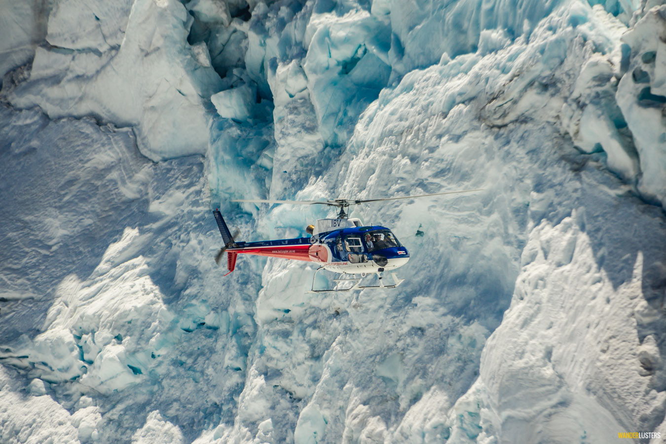
Leaving the ground once more we began our return journey to Queenstown.
Following the floor of a deep valley we tracked its course above a patchwork of green and blue until a rocky divide forced us back up to altitude. Snow appeared, and then a mass of blue icy rifts which indicated a glacier beneath the fluffy marshmallow of white.
Once more the pilot came into land, this time atop the glacier nestling atop the frozen summit.
With instructions not to stray too far I jumped out of the helicopter and sank deep into the snow. Each step was met with the sound of crumpling ice and as I carefully transferred my weight from one foot to the next my muscles tensed, anticipating a fall into the icy depths below.
I found myself stood atop an expanse of white, a clean crisp sheet of snow atop archaic compacted ice. On either side the view descended to the valleys below and above me mountain tops obscured the sun.
I resisted the urge to lie in the snow; it looked like an indulgent white pillow so soft and inviting. Standing there for what felt like an eternity I inhaled the scene before me like oxygen.
As the blades picked up momentum and we rose above the ground I knew this would be the last leg of my journey. Leaving Fiordland behind we returned to the windswept landscape of The Divide and soon Lake Wakatipu was once again in view.
Reflecting on my alpine escape with The Helicopter Line
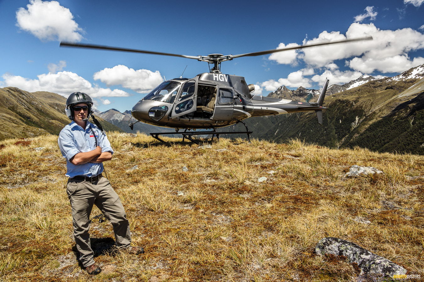
My travels throughout New Zealand have offered me the opportunity to experience the beauty of an aerial existence on more than one occasion, and in truth each flight has taken me into a parallel world that exists outside my own.
While exploring on foot serves to immerse you in the surrounding landscape, flying above it opens up an additional dimension to explore.
My alpine escape with The Helicopter Line offered unparalleled views of one of New Zealand’s most iconic natural environments, and as a landscape photographer at heart I must tell you the experience was pure bliss.
If your time in Queenstown is limited and your budget allows, I highly recommend incorporating this 90 minute flight into your itinerary. It will offer insight into the terrain you’ll not have time to explore on foot and inspire you to revisit this remarkable part of the world.
✈ ✈ ✈
Have you flown high above The Divide and the peaks of the Milford Sound? Share your comments with me below.

